Tunnel Bend Campground: Free Historic Camping on the Howqua River
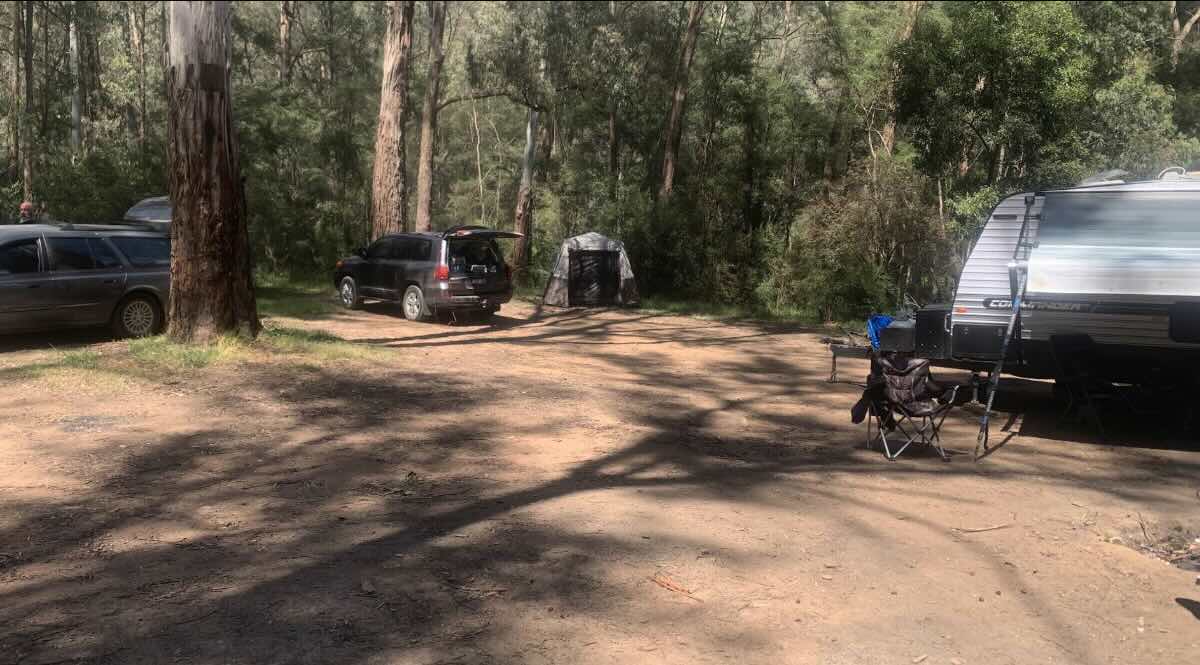
For a camping experience steeped in history and natural beauty, Tunnel Bend Reserve in the Howqua Hills Historic Area is a truly unique destination. This fantastic free campground is famous for its namesake—a remarkable 100-metre tunnel carved through the mountainside by gold miners in the 1880s to divert the Howqua River and expose its gold-rich bed. Today, this tunnel provides a thrilling and unforgettable swimming adventure for visitors during the warmer months. The campground itself is set on picturesque grassy flats beside the crystal-clear river, surrounded by the steep, forested slopes of the Victorian High Country. It’s a popular spot for families, history buffs, and outdoor enthusiasts, offering a perfect blend of recreation and relaxation.
The reserve is well-suited for self-sufficient campers, providing basic but essential facilities including non-flushing toilets and established fire pits. As part of a State Forest area, it is proudly pet-friendly, allowing you to bring your dogs along for the adventure. The spacious sites can accommodate tents, camper trailers, and small to medium off-road caravans. The area is also a hub for horse riding, with dedicated horse yards available for equestrian campers. Beyond the tunnel, the Howqua River offers excellent trout fishing and kayaking opportunities. The campground serves as a great base for exploring other historic sites in the area, such as Fry’s Hut and Sheepyard Flat, and for tackling the many 4WD tracks that crisscross the region. For a memorable and budget-friendly High Country getaway that combines adventure with a fascinating glimpse into Victoria’s gold rush past, Tunnel Bend is an exceptional choice.
Campground Information
- Name: Tunnel Bend Campground (Tunnel Bend Flat)
- Address: Mansfield-Woods Point Road, Kevington, Victoria 3723, Australia
- GPS Coordinates: -37.38275658372368, 146.22495157099078
- Website: Managed by Parks Victoria (no direct website for the campground).
Features & Rules
- Location: Grassy flats on the Howqua River, featuring a historic mining tunnel.
- Site Suitable For: Tents, camper trailers, and small to medium off-road caravans.
- Road Access: Unsealed road (Brocks Road), generally 2WD accessible in dry conditions but can be rough.
- Site Surface: Grass and natural earth.
- Camping Permitted: Yes, free camping is permitted. No bookings required.
- Maximum Overnight Stays: Up to 28 days.
- Facilities: Non-flushing toilets, fire pits, picnic tables, and horse yards.
- Potable Water: No. You must bring your own drinking water or treat river water.
- Mobile Phone Coverage: Non-existent.
- Onsite Public Toilets: Yes, basic non-flushing toilets are available.
- Rubbish Bins: No. All rubbish must be taken with you.
- Open Fires: Permitted in provided fire pits, subject to seasonal fire bans.
- Generator Use: Permitted, with consideration for other campers.
- Number of Sites Available: Numerous undesignated, unpowered sites.
- Essentials to Bring: Drinking water, firewood, rubbish bags, and toilet paper.
- Pet Friendly: Yes, dogs are permitted on a leash.
- Fishing: Excellent trout fishing in the Howqua River.
- Short Walks: Walk through the river tunnel (seasonal), and explore local historic tracks.
Local Amenities & Attractions
- Local Pubs:
- Kevington Hotel – approx. 12 km
- Courthouse Hotel (Jamieson) – approx. 15 km
- Jamieson Brewery and Grill – approx. 15 km
- Places to Eat:
- Kevington Hotel – approx. 12 km
- Various cafes and eateries in Jamieson – approx. 15 km
- Local Attractions:
- Howqua River Tunnel – on-site
- Fry’s Hut – approx. 5 km
- Sheepyard Flat – approx. 7 km
Nearby Parks & Services
- Nearest Caravan Parks:
- Jamieson Caravan Park – approx. 15 km
- Howqua Valley Holiday Park – approx. 30 km
- Mansfield Holiday Park – approx. 50 km
- Nearest Alternate Free Camps:
- Other flats along the Howqua River (e.g., Sheepyard Flat, Noonans Flat).
- Nearest Dump Points:
- Mansfield Public Dump Point (near Visitor Information Centre) – approx. 50 km
- Nearest Petrol Station: Jamieson – approx. 15 km.
- Nearest Drinking Water Resupply: Public taps in Jamieson – approx. 15 km.
- Nearest Public Toilets: On-site (basic). Flushing toilets in Jamieson.
Seasonal Weather Forecast
- Summer (Dec-Feb): Warm to hot days with cool mountain nights. Perfect for swimming. Average maximum temperatures in nearby Mansfield are around 28°C.
- Autumn (Mar-May): Mild, sunny days and crisp nights with stunning autumn colours. Average maximums range from 16°C to 25°C.
- Winter (Jun-Aug): Cold, with frosty nights and potential for snow on surrounding peaks. Roads can be slippery. Average maximums are around 12°C to 14°C.
- Spring (Sep-Nov): Cool and becoming milder. The river can be high from snowmelt. Average maximums range from 16°C to 23°C.