Long Lead Picnic Area | Secluded Glenelg River Camping & Great South West Walk
For a serene and secluded bush camping experience in one of Victoria’s most spectacular river landscapes, the Long Lead Picnic and Camping Area is a premier destination. Tucked away within the magnificent Lower Glenelg National Park, this beautiful Parks Victoria campground offers an immersive natural escape right on the banks of the Glenelg River. It is a true paradise for self-sufficient travellers, especially those with a passion for kayaking, canoeing, fishing, and hiking. The campground is set in a peaceful clearing, surrounded by a stunning forest of native trees that provides a wonderful sense of isolation. The well-spaced, designated sites are suitable for tents and camper trailers, allowing visitors to fully appreciate the tranquil environment, where the dominant sounds are the rich chorus of birdlife and the gentle lapping of the river.
The main drawcard is the majestic Glenelg River itself, with its iconic limestone gorges and pristine waters. The campground features a canoe launch, making it a perfect starting point or overnight stop for paddlers exploring the breathtaking Glenelg River Canoe Trail. The fishing here is exceptional, with the river famous for its healthy populations of Bream, Mulloway, and Estuary Perch. Long Lead is also a key campsite on the renowned 250-kilometre Great South West Walk, providing a welcome and scenic resting place for hikers. As a popular national park site, bookings are essential, which ensures the campground remains uncrowded and pristine. While it feels a world away, the historic town of Casterton is within a reasonable drive for supplies. For an authentic adventure that captures the wild, untamed beauty of the Glenelg River, Long Lead is a top-tier destination for the prepared camper.
Campground Information
- Name: Long Lead Picnic Area
- Address: Long Lead Track, Lake Mundi VIC 3311
Location Coordinates
- GPS: -37.58450162505642, 141.20913433939901
Website
- Website: Parks Victoria – Long Lead
Location Map
Site Details
- Location: Remote riverside camp in the Lower Glenelg National Park.
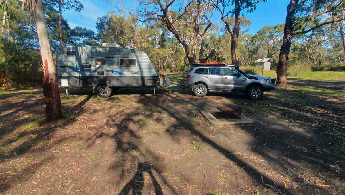
- Site Suitable For: Tents and Camper Trailers. Not suitable for caravans or large motorhomes.
- Road Access: Unsealed gravel/dirt forest tracks. Generally 2WD accessible with extreme care in dry conditions, but 4WD is highly recommended.
- Site Surface: Natural dirt and gravel base.
- Camping Permitted: Yes, bookings and fees are mandatory via the Parks Victoria website.
- Maximum Overnight Stays: Check Parks Victoria guidelines.
- Facilities: Non-flush toilets, shared fire pits, picnic tables, canoe launch. No power or showers.
- Potable Water: No. You must bring all your own drinking water or have a reliable purification system.
- Mobile Phone Coverage: Very poor to non-existent. A PLB or satellite messenger is recommended.
- TV Reception: Not applicable.
- Onsite Public Toilets: Yes, non-flush (pit) toilets.
- Rubbish Bins: No. This is a strict carry-in, carry-out site.
- Open Fires: Permitted in designated fireplaces only, subject to seasonal fire restrictions. BYO firewood.
- Generator Use: Not permitted.
- Number of Sites Available: 11 designated, bookable sites.
- Essentials to Bring: PLB/Sat Phone, all drinking water/water treatment, firewood, rubbish bags, toilet paper, insect repellent.
- Pet Friendly: No. Pets are not permitted in the Lower Glenelg National Park.
Activities
- Fishing: Excellent river fishing for Bream, Mulloway, and Estuary Perch.
- Short Walks: This is a key campground on the multi-day Great South West Walk.
- Kayaking & Canoeing: A premier destination for paddling the Glenelg River.
Local Amenities
- Local Pubs:
- Albion Hotel Casterton – Approx. 45 km
- Glenelg Inn (Casterton) – Approx. 45 km
- Dartmoor Hotel (Dartmoor) – Approx. 65 km
- Places to Eat:
- Numerous cafes, bakeries, and pubs in Casterton – Approx. 45 km
- Local Attractions:
- Great South West Walk – Onsite
- Baileys Rocks – Approx. 35 km
- Princess Margaret Rose Cave – Approx. 50 km
- Casterton, “Birthplace of the Kelpie” – Approx. 45 km
- Nearest Caravan Parks:
- Island Park Caravan Park (Casterton) – Approx. 46 km
- Next Free Camps:
- Ess Lagoon (Casterton) – Approx. 45 km
- Fort O’Hare (Dartmoor) – Approx. 65 km
- Nearest Dump Points:
- Casterton Showgrounds Public Dump Point – Approx. 47 km
- Nearest Petrol Station:
- Casterton has multiple options – Approx. 45 km
- Drinking Water Resupply:
- Available in Casterton.
- Public Toilets:
- Available onsite (non-flush).
Seasonal Weather Forecast
- Summer (Dec-Feb): Warm and generally dry, averaging 14-29°C.
- Autumn (Mar-May): Mild, pleasant days and cool nights, ideal for walking and kayaking, averaging 9-23°C.
- Winter (Jun-Aug): Cool and often damp, with chilly days, averaging 5-15°C.
- Spring (Sep-Nov): Cool to mild with increasing sunshine, a great time to see the forest and river come to life, averaging 8-20°C.